A flagship project to restore natural habitats, increase ecosystem resilience, reconnect landscapes and protect biodiversity.
By Hilary Koll
22nd March 2026
High on the uplands, where heather rolls into the distance and peat soils store centuries of carbon beneath your feet, a new idea is taking shape. It’s called Linking Levisham, and at its heart is a question: what would it look like if nature recovery, climate resilience and farming all worked together across an entire landscape over decades?
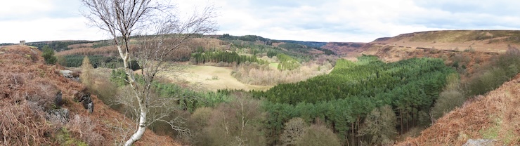
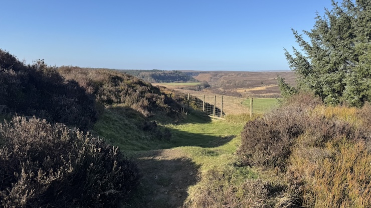
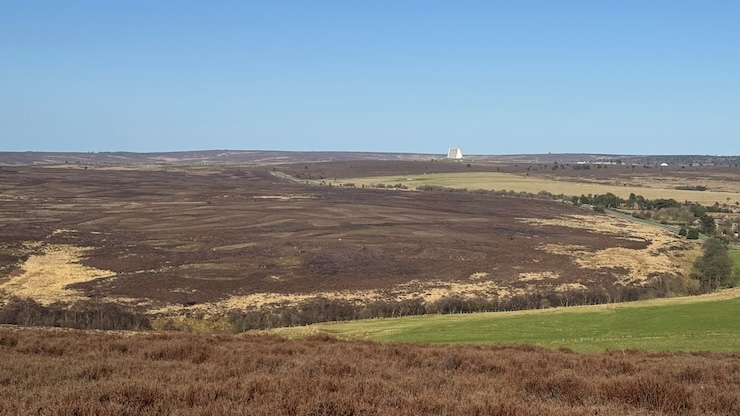
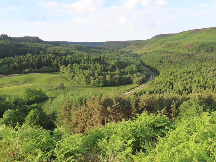
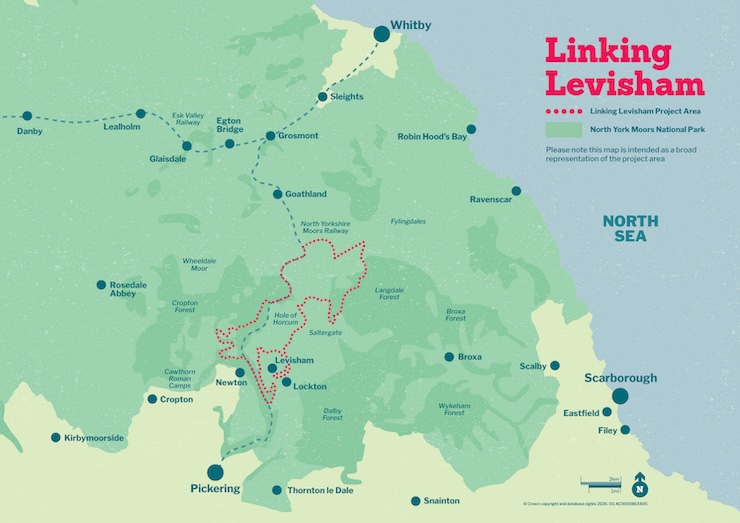
Still in its development phase, Linking Levisham is a proposed long-term nature recovery project designed to reconnect a vast, mostly continuous area of upland land so that nature can function as a whole system again. Covering an area of 2,800 hectares in the North York Moors National Park, it spreads from RAF Fylingdales down to the Hole of Horcum and beyond. The project aims to establish an ecologically connected mosaic landscape with varied habitats, including woodland, bog and fen, species-rich grassland and diverse moorlands.
Linking Levisham has been developed under the government’s Landscape Recovery scheme, which supports large, long-term environmental projects. It’s a multi-partner initiative, funded by DEFRA and involving the North York Moors National Park Authority, Forestry England, Yorkshire Wildlife Trust, North Yorkshire Moors Railway Trust, the Ministry of Defence, Natural England and local farmers and graziers. It’s being shaped specifically around the character of this particular landscape: its peat, its moorland, its forests, its woods, its farms – and the people who manage it.
A landscape shaped by people and nature
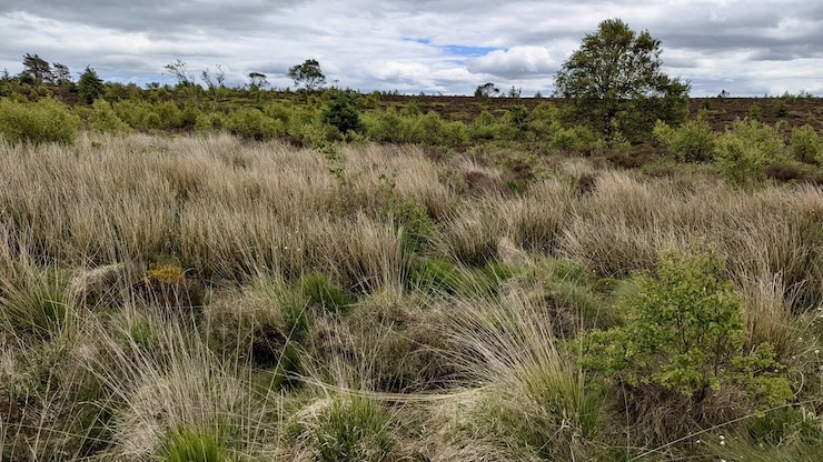
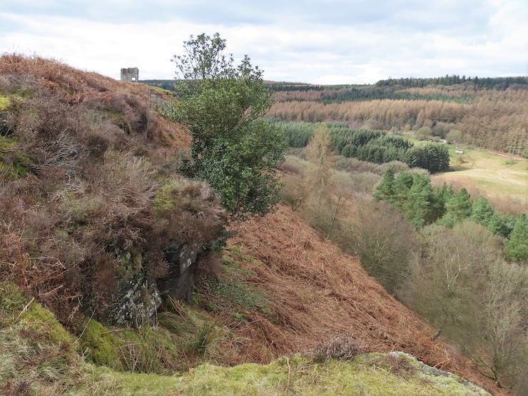
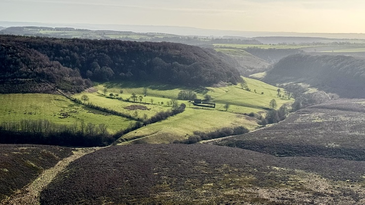
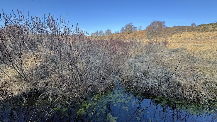
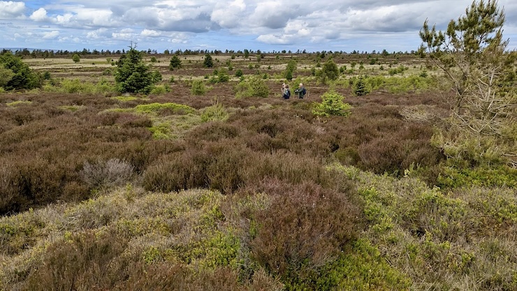
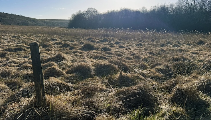
Levisham is an upland landscape dominated by heather moorland, rough grazing, and peat soils. Much of it is nationally and internationally designated for its environmental importance. For generations it has been shaped by grazing, drainage and moorland management, leaving a landscape that is iconic but also vulnerable. Dry peat is highly flammable. Large areas of uniform vegetation can act as fuel during wildfires. Climate change is increasing these risks, while also putting pressure on farming businesses that already operate within tight margins.
Linking Levisham emerged from a shared recognition among landowners and organisations: tackling these challenges piecemeal is no longer enough. This landscape needs a joined-up, long-term approach.
Decisions made together
Linking Levisham has been developed through collaboration and consultation. Input from a broad range of stakeholders, from land managers and landowners to recreational users and statutory bodies, has ensured that diverse outlooks have been captured. This matters: without the trust and involvement of people who know the land best, large-scale recovery simply doesn’t happen.
A dedicated project board, led by the National Park Authority, has been set up to allow all partners to be involved in setting the goals and direction of the project, together with more focussed working groups looking at the specific suggestions being put forward to DEFRA to obtain funding. These include themes such as land management, access, and monitoring. The development stage suggestions are due to be submitted in Spring 2026 and, if approved, their implementation could begin as early as this Autumn.
The aim is stability: long-term funding, clear expectations, and the ability to plan ahead.
What might change on the ground?
Because the project is still being developed nothing is final, but the emerging vision focuses on process-led recovery. Key ideas include restoring peatlands by rewetting them, helping to lock up carbon, reduce fire risk, and improve water quality. Instead of uniform heather, the landscape would gradually develop a more varied structure: a mix of different heather ages, patches of scrub, wet areas, and – where conditions allow – scattered trees.
Grazing remains central, but in a more dynamic way. Carefully managed cattle grazing, potentially guided by GPS or virtual fencing, could help create a richer mosaic of habitats as animals move across the landscape, carrying seeds and shaping vegetation naturally. In existing forested areas, there are opportunities to shift away from dense conifer plantations toward more natural, native woodland over time. Elsewhere, natural regeneration would be favoured over planting, allowing trees and shrubs to establish where conditions are right.
Fire, water, and resilience
Recent upland fires have underlined how vulnerable these landscapes can be. Linking Levisham treats fire risk not as a separate issue, but as part of the whole system. Wetter peat, more varied vegetation, and better water retention all help to reduce the likelihood and severity of fires.
There is also interest in revisiting “slow the flow” approaches – natural flood management that holds water higher in the catchment, easing pressure on communities downstream. Again, the emphasis is on working with natural processes.
Reconnecting land, people and nature into the future
If approved, Linking Levisham would unfold over around 20 years. Change would be gradual. Some areas may not look different for many years, while others begin to respond more quickly. Monitoring is built in from the start, allowing approaches to be adjusted as the landscape responds.
There is no guarantee the project will move beyond development. Funding is competitive, and public investment is limited. But even at this stage, the work has value – testing ideas, building relationships, and showing what landscape-scale nature restoration might look like in a working upland.At its core, Linking Levisham is about reconnection: reconnecting habitats so wildlife can move and adapt; reconnecting water to peat and soils; and reconnecting people to a long-term vision for the land they care for. It is an invitation to think collaboratively about a real landscape – where nature and livelihoods must recover together.
Further information and helpful links:
Links: North York Moors National Park, Linking Levisham